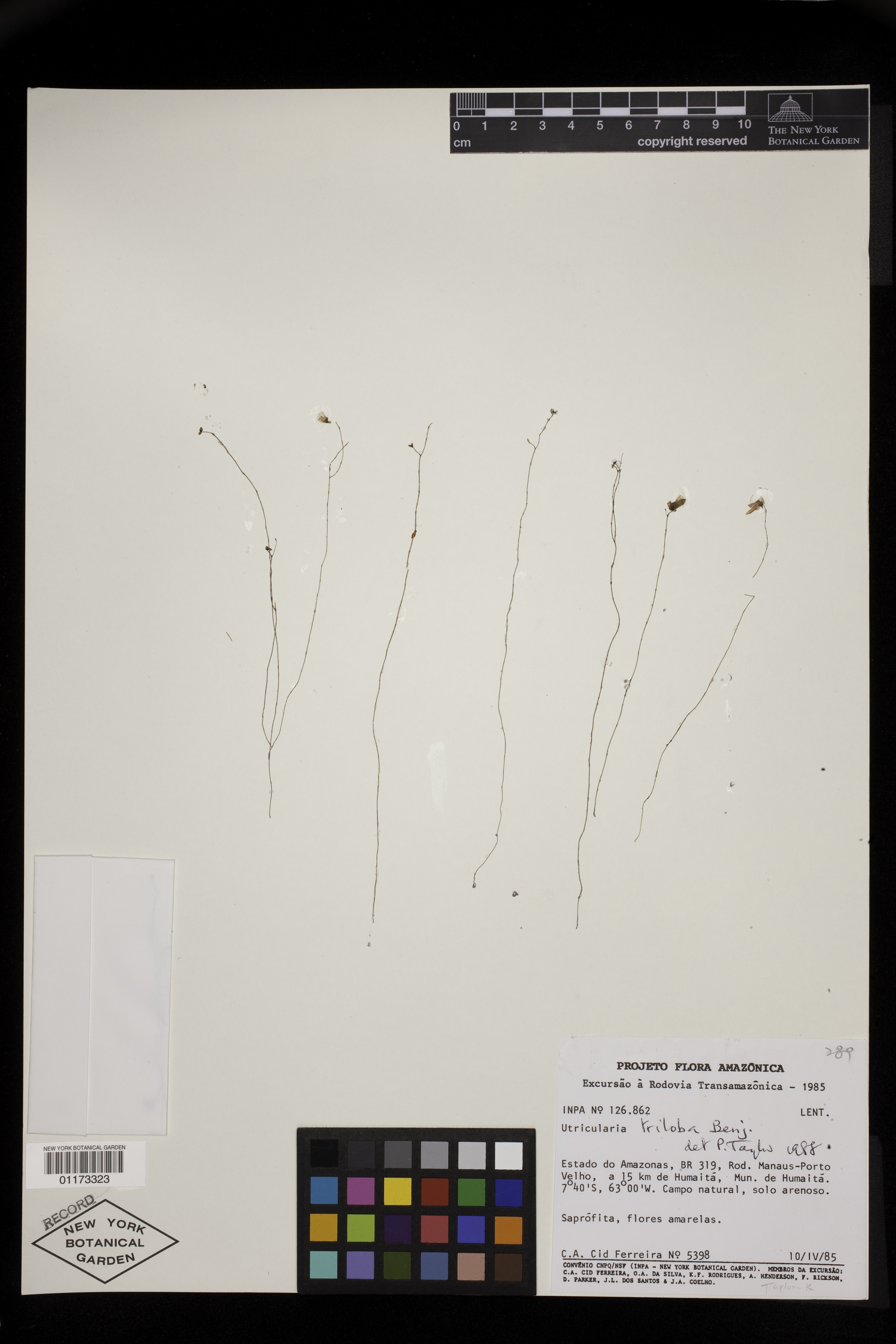


Filed As:
Lentibulariaceae
Utricularia triloba Benj.
Lentibulariaceae
Utricularia triloba Benj.
Location:
Brazil. Amazonas. Humaitá Mun. BR 319, Rod. Manaus-Porto Velho, a 15 km de Humaitá.
Brazil. Amazonas. Humaitá Mun. BR 319, Rod. Manaus-Porto Velho, a 15 km de Humaitá.
Collector(s):
C. A. Cid Ferreira 5398 with O. A. da Silva, K. F. Rodrigues, A. Henderson, F. Rickson, D. Parker, J. L. Dos Santos & J. A. Coelho, 10 Apr 1985
C. A. Cid Ferreira 5398 with O. A. da Silva, K. F. Rodrigues, A. Henderson, F. Rickson, D. Parker, J. L. Dos Santos & J. A. Coelho, 10 Apr 1985
Identifiers:
NY Barcode: 01173323
GUID: 412f5b95-744f-47e9-9248-88919bb069fd
NY Barcode: 01173323
GUID: 412f5b95-744f-47e9-9248-88919bb069fd
Map:
Georeferencing Method: Georeferencing Quick Reference Guide, Version 2012 (Offset direction not provided, therefore unable to locate offset coordinates. Georeferenced to the geographic center of city of Humaitá. Using Google Maps, located geographic center of city of Humaitá, Amazonas. Used Canadensys Lat/Long Crosshairs to find the coordinates. Used measurement tool (Google Maps) to measure the linear extent of the city, from the approximated geographic center to the farthest extent of Humaitá. Input coordinates, offset distance (15000 m.), linear extent (6771.64 m.), measurement error (.01 m.), and distance precision (100 m.) into the MaNIS Georeferencing Calculator to find the uncertainty radius (according to Georeferencing Quick Reference Guide, Offset: Offset only, no direction).)
Coordinate Uncertainty(m): 21823.2
Geodetic Datum: WGS84
Coordinates: (-7.51124, -63.0302)
Georeferencing Method: Georeferencing Quick Reference Guide, Version 2012 (Offset direction not provided, therefore unable to locate offset coordinates. Georeferenced to the geographic center of city of Humaitá. Using Google Maps, located geographic center of city of Humaitá, Amazonas. Used Canadensys Lat/Long Crosshairs to find the coordinates. Used measurement tool (Google Maps) to measure the linear extent of the city, from the approximated geographic center to the farthest extent of Humaitá. Input coordinates, offset distance (15000 m.), linear extent (6771.64 m.), measurement error (.01 m.), and distance precision (100 m.) into the MaNIS Georeferencing Calculator to find the uncertainty radius (according to Georeferencing Quick Reference Guide, Offset: Offset only, no direction).)
Coordinate Uncertainty(m): 21823.2
Geodetic Datum: WGS84
Coordinates: (-7.51124, -63.0302)