By Amy Weiss, Nicole Tarnowsky
Mar 22 2019
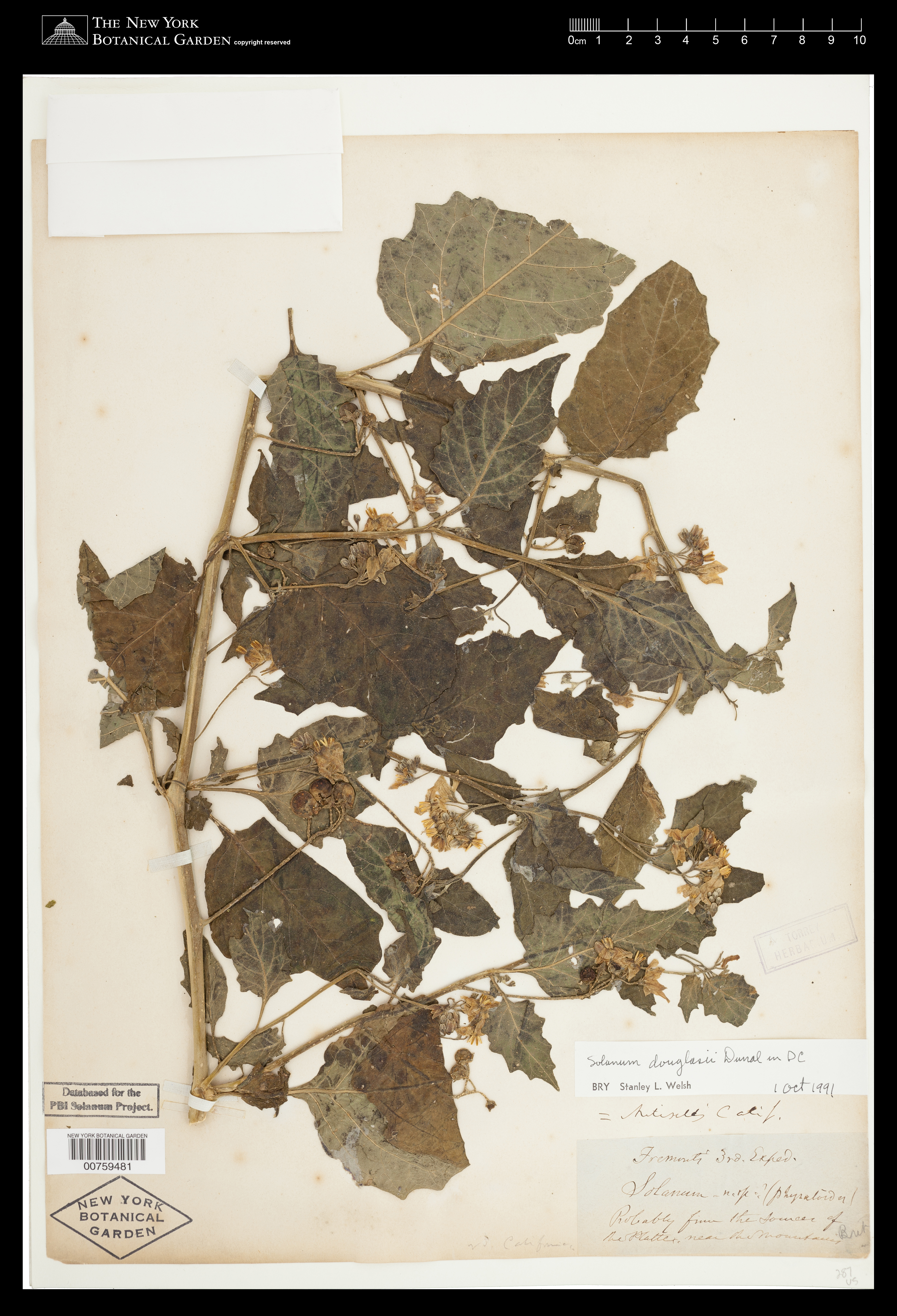
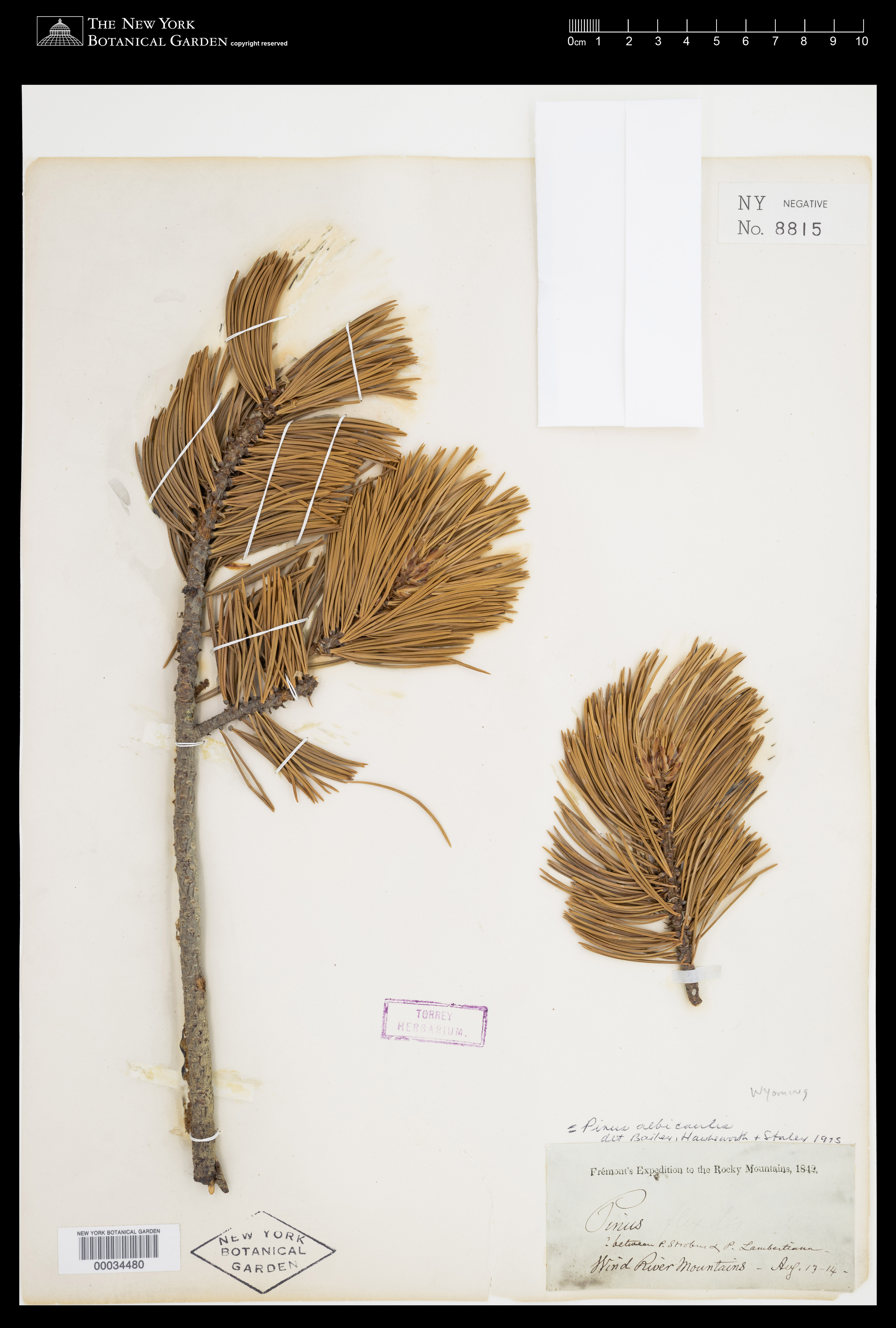
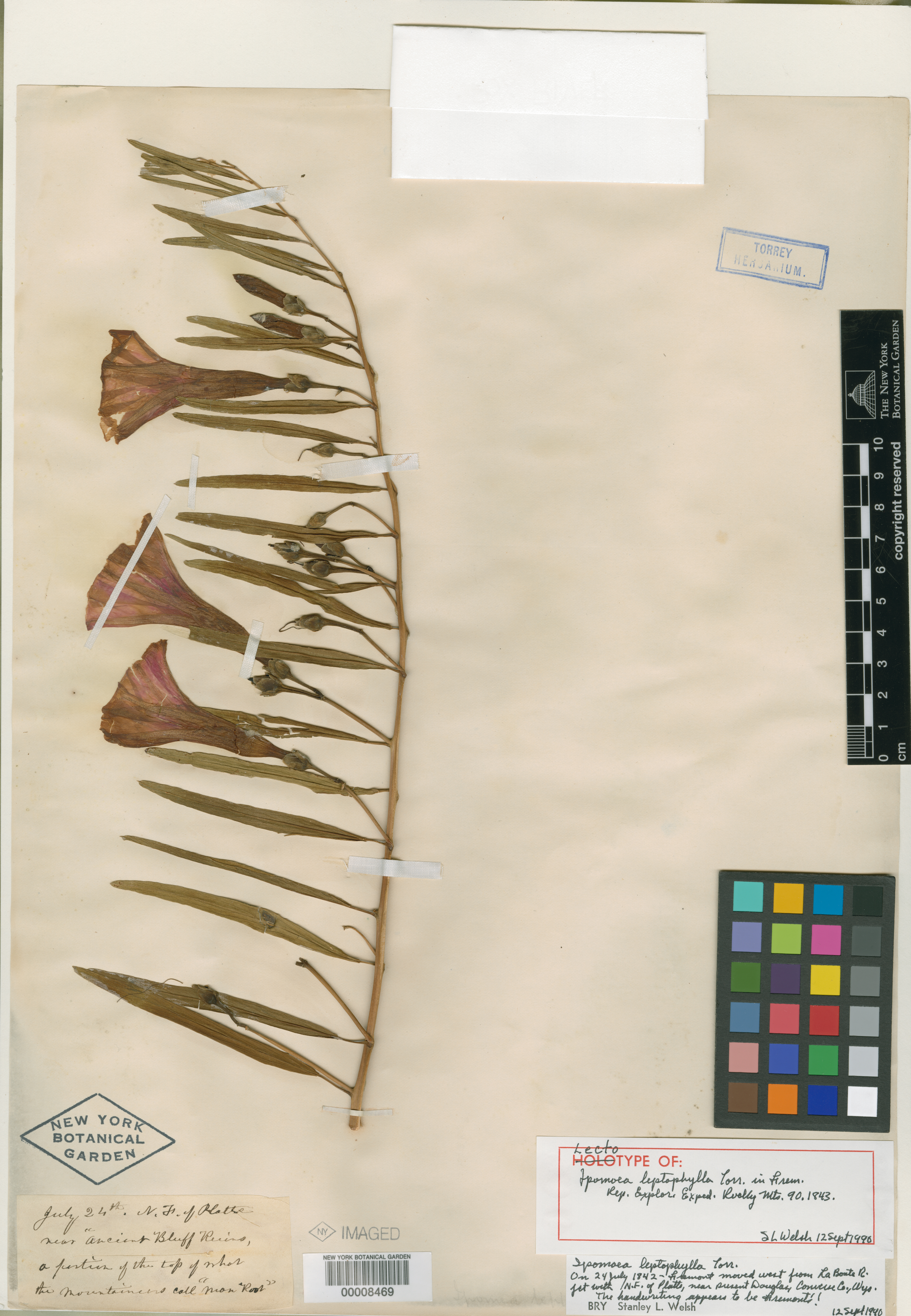
Most of us take road maps for granted. Early voyagers across the new territories of the United States had no maps to guide them. Mapping routes through the West became the mission of the United States Corps of Topographical Engineers. John Charles Frémont (1813–1890), a lieutenant in the Corps, led five expeditions to explore the West between 1842–1853. Frémont was guided on his first three expeditions by Kit Carson, and assisted with mapping by cartographer Charles Preuss. Frémont included information about suppliers, Native American tribes, flora and fauna—a road map and survival guide wrapped into one. Frémont’s maps and writings proved invaluable for those planning to cross the continent, and they inspired many Americans to conceive of a two-ocean nation.
In 1844, John Charles Frémont led a party of Army topographical engineers that "accidentally" crossed the Sierras into California (a Mexican territory) and traveled the length of the San Joaquin Valley before making their way home. Frémont returned in December 1845, ostensibly to survey the passes through the Sierras being used by American emigrant trains, thus Frémont and his men were in California for the start of the Mexican–American War (1846–1848) that ultimately ended with Mexico ceding land to the United States, and establishing the current U.S.-Mexico border. Vast new territories had been incorporated as part of the United States, and with Frémont’s maps, and gold discovered in California, many more people headed west.


