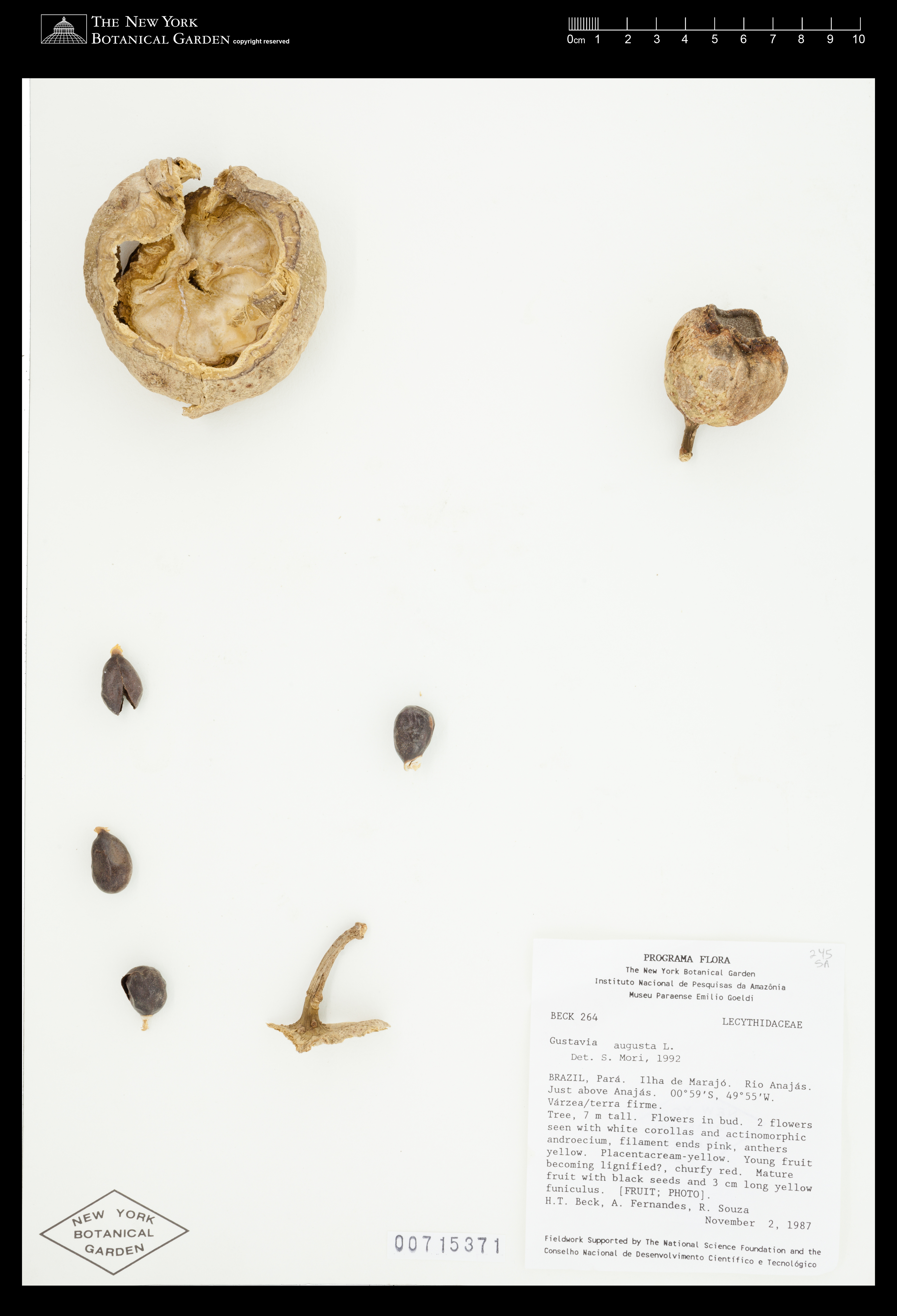
Gustavia augusta L.
Rights: Rights reside with creator, otherwise property of NYBG.
-
Filed As
Lecythidaceae
Gustavia augusta L. -
Collector(s)
H. T. Beck 264 with A. Fernandes & R. Souza, 02 Nov 1987
-
Location
Brazil. Pará. Ilha de Marajó. Rio Anajás. Just above Anajás.
-
Description
Tree, 7 m. Flowers in bud. 2 flowers seen with white corollas and actinomorphic androecium, filament ends pink, anthers yellow. Placenta cream-yellow. Young fruit becoming lignified?, churfy rerd. Mature fruit with black seeds and 3 cm long yellow funiculus [FRUIT; PHOTO]. Phenology of specimen: Fruit.
-
Collection Notes
See herbarium sheet at NY = 685581
-
Identifiers
NY Barcode: 715371
Occurrence ID: 8c54c1a6-274e-448c-ab23-0757a7711a62
-
Feedback
-
Kingdom
Plantae
-
Division
Magnoliophyta
-
Order
Ericales
-
Family
Lecythidaceae
-
All Determinations
Gustavia augusta L. det S. A. Mori, 1992
-
Region
South America
-
Country
Brazil
-
State/Province
Pará
-
Locality
Ilha de Marajó. Rio Anajás. Just above Anajás
-
Coordinates
-0.981984, -49.9399
-
Coordinate Uncertainty (m)
43945.7
-
Georeferencing Method
Georeferencing Quick Reference Guide, Version 2012. Assumed site "just above Anajás" to be located directly across the river (north) from the city of Anajás. Georeferenced to the land directly across Rio Anajás from the geographic center of the city of Anajás. Using Google Maps - Satellite View, located the approximate geographic center of the city of Anajás in município Anajás, on Ilha de Marajó. Used Canadensys Lat/Long Crosshairs to find the coordinates directly across river Rio Anajás from the geographic center of Anajás. Used Distance Measurement Tool (Google Maps) to find the linear extent by measuring from the selected coordinates to the farthest extent of Rio Anajás within município Anajás (to include all area that may be considered Rio Anajás within Anajás). Input coordinates, linear extent (43944.0 m.), and measurement error (.1 m.) into the MaNIS Georeferencing Calculator to find the uncertainty radius.
-
Geodetic Datum
WGS84
-
Distribution


Please submit your comments about the specimen:
Gustavia augusta L.