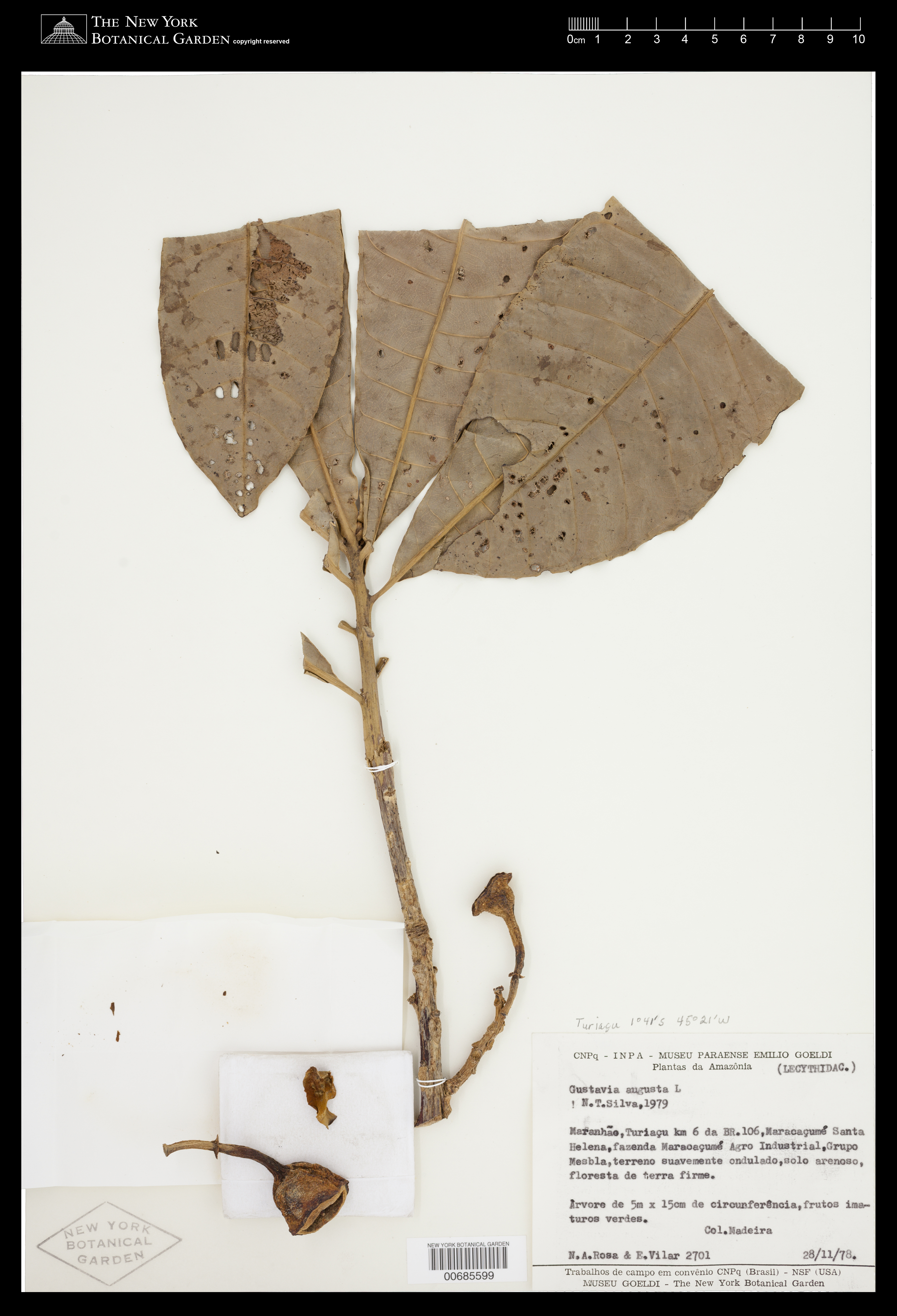
Gustavia augusta L.

Rights: Rights reside with creator, otherwise property of NYBG.
-
Filed As
Lecythidaceae
Gustavia augusta L. -
Collector(s)
N. A. Rosa 2701 with E. Vilar, 28 Nov 1978
-
Location
Brazil. Maranhão. Turiaçu Mun. km 6 da BR.106, Maracaçumé Santa Helena, fazenda Maracaçumé Agro Industrial, Grupo Mesbla, terreno suavemente ondulado.
-
Habitat
Floresta de terra firme. Solo arenoso.
-
Description
Arvore, 5 m x 15 cm. Frutos imaturos verdes. Phenology of specimen: Fruit.
-
Notes (shown on label)
Col. madeira
-
Identifiers
NY Barcode: 685599
Occurrence ID: 8dd3daaf-a89a-458d-bdbc-66ae4b270305
-
Feedback
-
Kingdom
Plantae
-
Division
Magnoliophyta
-
Order
Ericales
-
Family
Lecythidaceae
-
All Determinations
Gustavia augusta L. det N. T. da Silva, 1979
-
Region
South America
-
Country
Brazil
-
State/Province
Maranhão
-
County/Municipio
Turiaçu Mun.
-
Locality
km 6 da BR.106, Maracaçumé Santa Helena, fazenda Maracaçumé Agro Industrial, Grupo Mesbla, terreno suavemente ondulado
-
Coordinates
-2.16654, -45.5976
-
Coordinate Uncertainty (m)
32238.3
-
Georeferencing Method
Georeferencing Quick Reference Guide, Version 2012. Inferred "BR-106" in Santa Helena to be road "MA-106." Unable to locate "Fazenda Maracaçumé Agro Industrial;" georeferenced to MA-106 within Santa Helena. Using Google Maps, located MA-106 within Santa Helena. Used measurement tool to measure a straight line along the road within the administrative boundaries specified in locality description (within Santa Helena). Halved this distance and chose a point along the road closest to midpoint. Used Canadensys Lat/Long Crosshairs to find coordinates. Input coordinates, linear extent (distance from the chosen midpoint to the farthest point on the feature that is within the administrative boundaries specified in the locality description - 32236.6 m.), and measurement error (.1 m.) into the MaNIS Georeferencing Calculator to find the uncertainty radius.
-
Geodetic Datum
WGS84
-
Distribution
Please submit your comments about the specimen:
Gustavia augusta L.