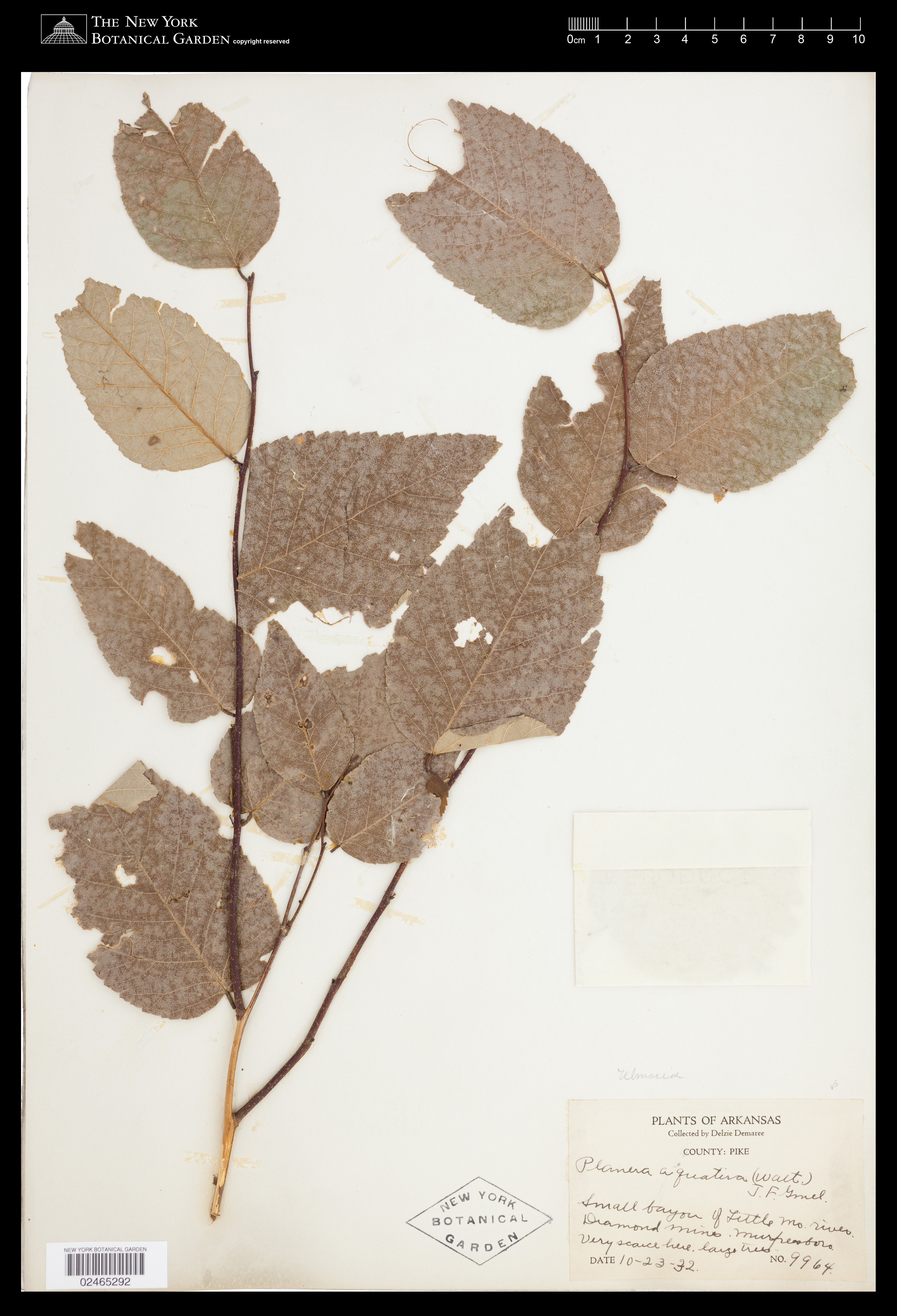
Planera aquatica J.F.Gmel.
Rights: Rights reside with creator, otherwise property of NYBG.
-
Filed As
Ulmaceae
Planera aquatica J.F.Gmel. -
Collector(s)
D. Demarée 9964, 10-23-32
-
Location
United States of America. Arkansas. Pike Co. small bayou of Little Mo. river Diamond Mines.
-
Identifiers
NY Barcode: 2465292
Occurrence ID: e9b9989f-d7c6-42d2-ac6e-82755beace47
-
Feedback
-
Kingdom
Plantae
-
Division
Magnoliophyta
-
Order
Rosales
-
Family
Ulmaceae
-
All Determinations
-
Region
North America
-
Country
United States of America
-
State/Province
Arkansas
-
County/Municipio
Pike Co.
-
Locality
small bayou of Little Mo. river Diamond Mines
-
Coordinates
34.027, -93.6761
-
Coordinate Uncertainty (m)
1033
-
Georeferencing Method
Georeferencing Quick Reference Guide (Zermoglio et. Coordinates of center of Little Missouri River within Crater of Diamonds State Park were located, on shore. Geographic radial found as distance between coordinates & farthest extent of river within park. Final uncertainty found using MaNIS Georef. Calc.
-
Geodetic Datum
WGS84
-
Distribution
PLANTS OF ARKANSAS
Collected by DelzieDematee
COUNTY: PIKE
?*£™<UA 4^^ ifl ¡Ccctit yy^yii^,
^^WrvU -">>^t^jfe, JYnytSy¿ljLp+^-VX^
1 Dx^j o^^X'^t^e.	?9 £cc
date J0-2*3 rAX,
02465292


Please submit your comments about the specimen:
Planera aquatica J.F.Gmel.