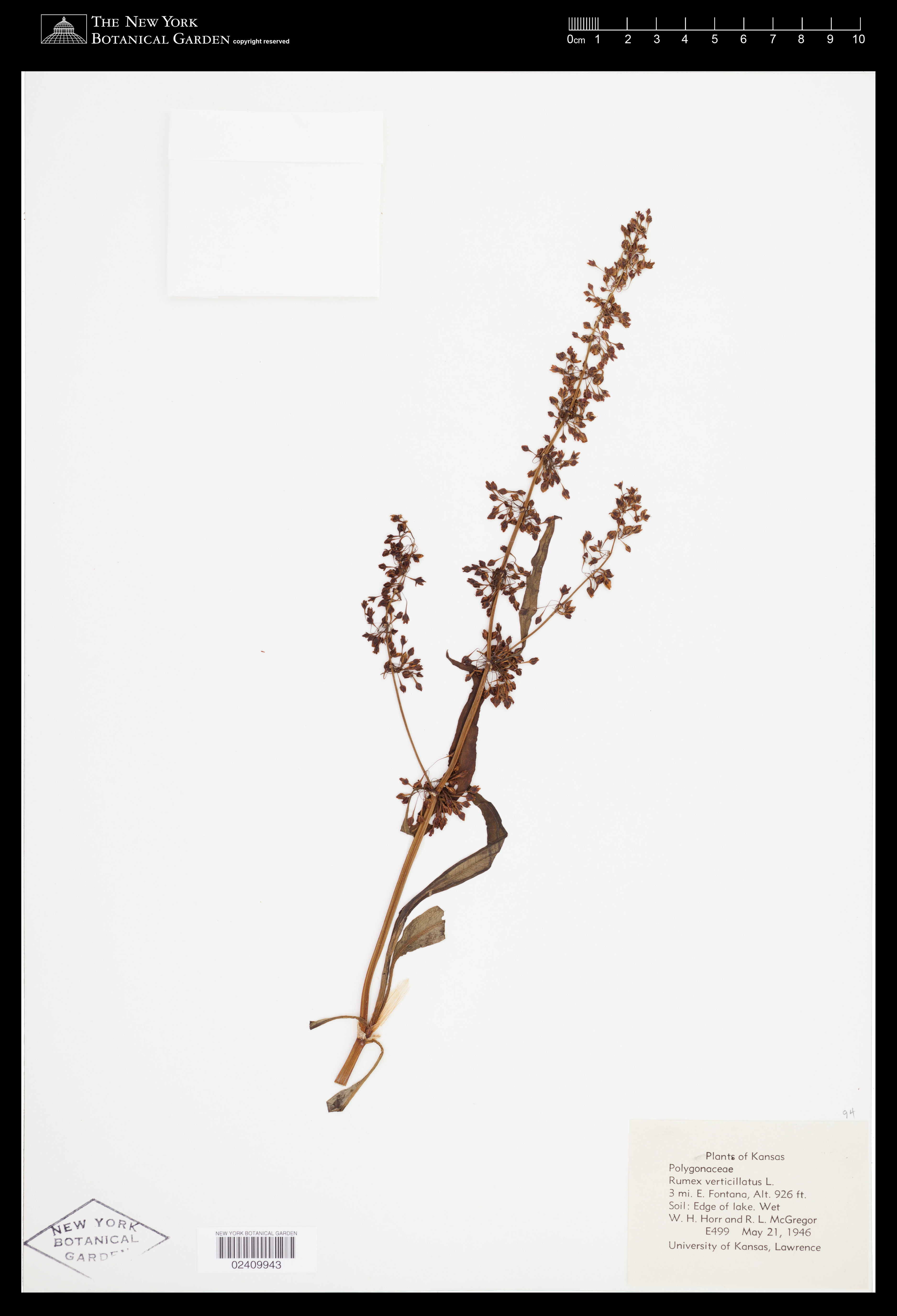
Rumex verticillatus L.
Rights: Rights reside with creator, otherwise property of NYBG.
-
Filed As
Polygonaceae
Rumex verticillatus L. -
Collector(s)
W. H. Horr E499 with R.L. McGregor, 21 May 1946
-
Location
United States of America. Kansas. 3 mi E Fontana, edge of lake.
-
Identifiers
NY Barcode: 2409943
Occurrence ID: b97a372c-8e95-4903-abee-88782604271b
-
Feedback
-
Kingdom
Plantae
-
Division
Magnoliophyta
-
Order
Caryophyllales
-
Family
Polygonaceae
-
All Determinations
-
Region
North America
-
Country
United States of America
-
State/Province
Kansas
-
Locality
3 mi E Fontana, edge of lake.
-
Elevation
Alt. 282 m. (925 ft.)
-
Coordinates
38.4258, -94.7828
-
Coordinate Uncertainty (m)
4974
-
Georeferencing Method
GEOLocate Web Application. Lake unknown. Used GEOLocate Web Application to georeference precise locality (high precision). Georeferenced to 3 mi E of Fontana.
-
Geodetic Datum
WGS84
-
Distribution


Please submit your comments about the specimen:
Rumex verticillatus L.