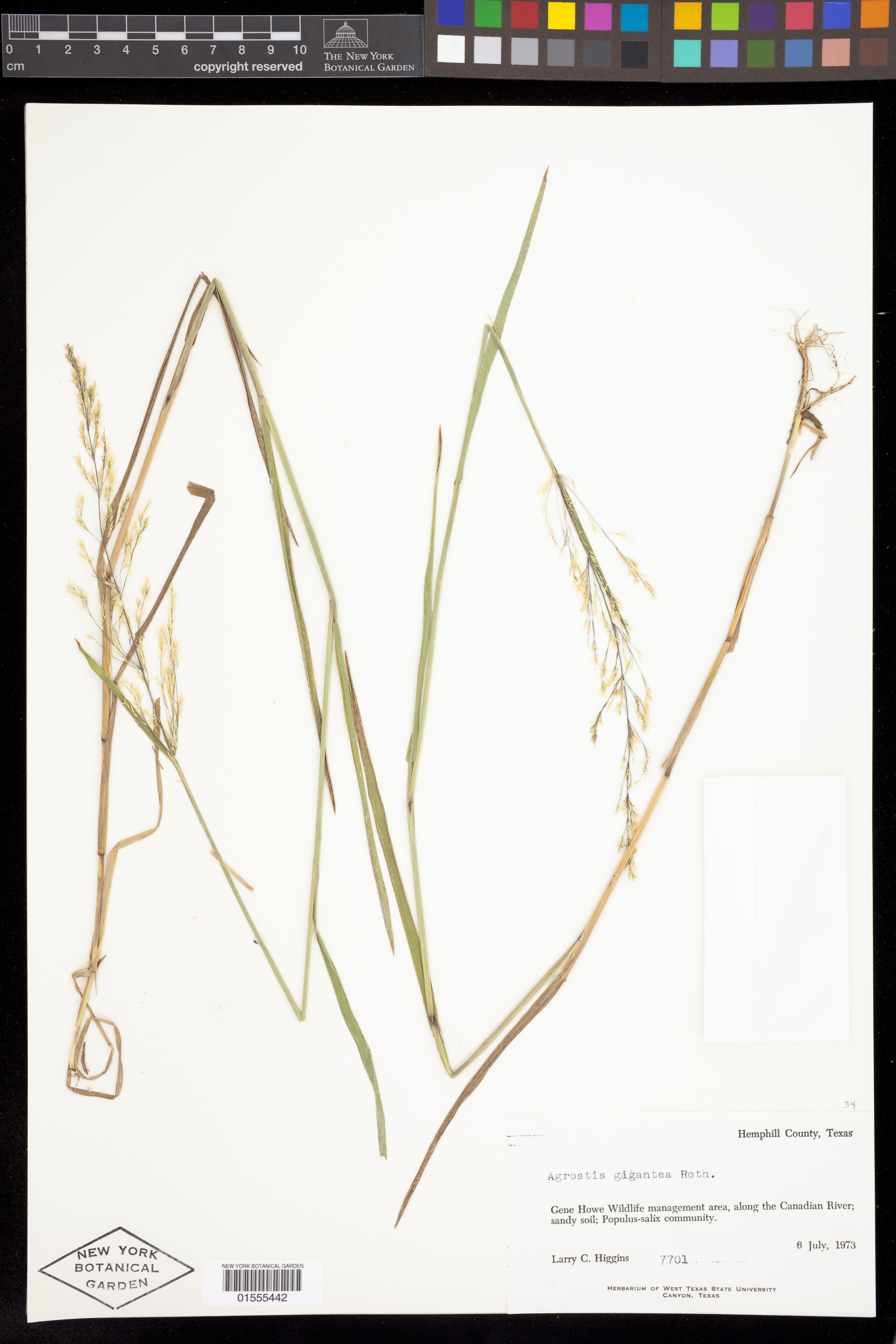
Agrostis gigantea Roth
Rights: Rights reside with creator, otherwise property of NYBG.
-
Filed As
Poaceae
Agrostis gigantea Roth -
Collector(s)
L. C. Higgins 7701, 06 Jul 1973
-
Location
United States of America. Texas. Hemphill Co. Gene Howe Wildlife management area, along the Canadian River.
-
Specimen Notes
Record databased by staff or volunteers in the Tri-Trophic Thematic Collections Network Symbiota Portal. Transferred to NYGB database on 17 Dec. 2015.
-
Identifiers
NY Barcode: 1555442
Occurrence ID: 3dab46b3-5a50-4d6e-af8a-0446ce01a225
-
Feedback
-
Kingdom
Plantae
-
Division
Magnoliophyta
-
Order
Poales
-
Family
Poaceae
-
All Determinations
-
Region
North America
-
Country
United States of America
-
State/Province
Texas
-
County/Municipio
Hemphill Co.
-
Locality
Gene Howe Wildlife management area, along the Canadian River
-
Coordinates
35.908, -100.3
-
Coordinate Uncertainty (m)
4451.57
-
Georeferencing Method
Georeferencing Quick Reference Guide, Version 2012. Coordinates of midpt calculated by halving distance between ends of border of Gene Howe Wildlife Management Area along Canadian River. Linear extent = distance between coordinates & end of segment (4440m). Uncertainty determined using MaNIS Georef. Calc.
-
Geodetic Datum
WGS84
-
Distribution
Hemphill County, Texas’
Agrostis gâèantea Roth.
Gene Howe Wildlife management area, along the Canadian River; sandy soil; Populus-salix community.
6 July, 1973
Larry C. Higgins 7701 -
Herbarium of West Texas State University Canyon, Texas


Please submit your comments about the specimen:
Agrostis gigantea Roth