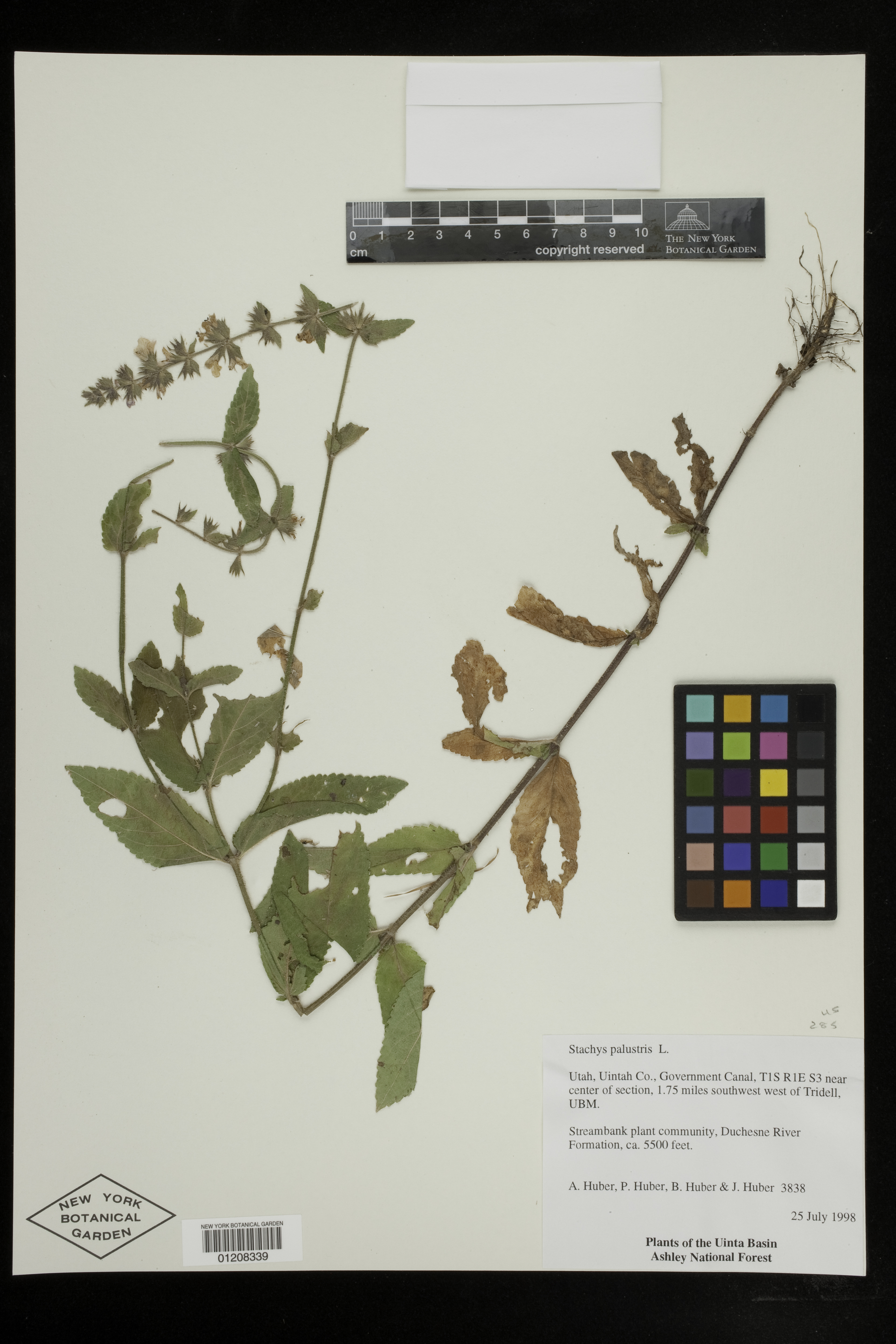
Stachys palustris L.

Rights: Rights reside with creator, otherwise property of NYBG.
-
Filed As
Lamiaceae
Stachys palustris L. -
Collector(s)
A. Huber 3838 with P. Huber, B. Huber J. Huber, 25 Jul 1998
-
Location
United States of America. Utah. Uintah Co. Government Canal, 1.75 miles southwest west of Tridell, UBM. The Uintah Basin, Ashley National Forest.
-
Habitat
Streambank plant community, Duchesne River Formation.
-
Description
Phenology of specimen: Flower.
-
Identifiers
NY Barcode: 01208339
Occurrence ID: 72ecce13-07a8-4b08-b414-3f1d4f2e14d4
-
Feedback
-
Kingdom
Plantae
-
Division
Magnoliophyta
-
Order
Lamiales
-
Family
Lamiaceae
-
All Determinations
-
Region
North America
-
Country
United States of America
-
State/Province
Utah
-
County/Municipio
Uintah Co.
-
Locality
Government Canal, 1.75 miles southwest west of Tridell, UBM. The Uintah Basin, Ashley National Forest.
-
Township, Range, Section
T1S, R 1 E, Sec 3 near center of section
-
Elevation
Alt. 1676 m. (5499 ft.)
-
Coordinates
40.4242, -109.868
-
Georeferencing Method
TRS Conversion Calculator. Used TRS2LL tool (defunct, now: TRS-data conversion tool, Montana State University, www.esg.montana.edu/gl/trs-data.html) to convert TRS coordinates (Township, Range, Section; Public Land Survey System) to decimal degrees.
-
Distribution
Please submit your comments about the specimen:
Stachys palustris L.