


Filed As:
Lecythidaceae
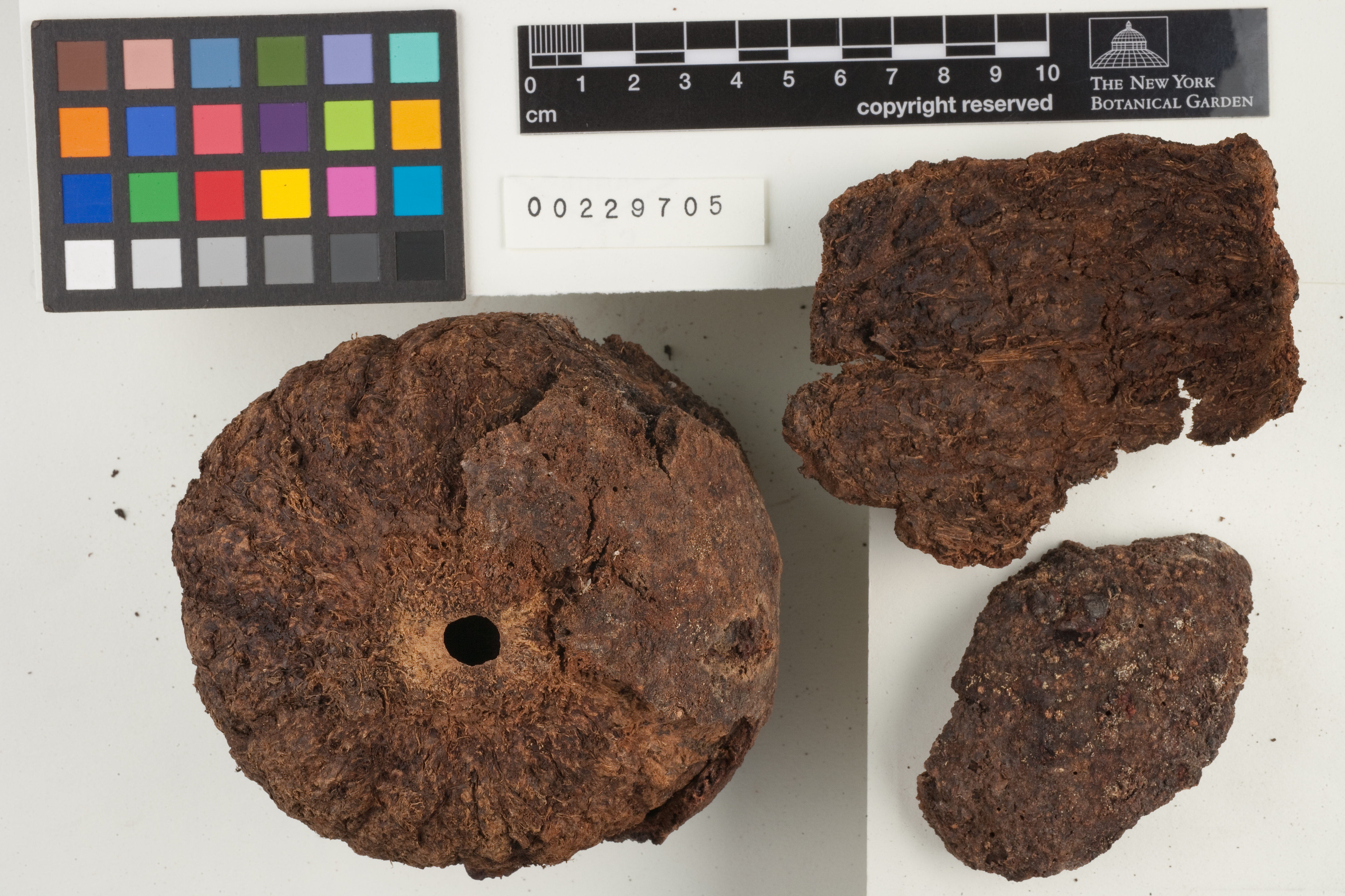
Bertholletia excelsa Bonpl.
Lecythidaceae
Bertholletia excelsa Bonpl.
Location:
Brazil. Pará. BR 163, Cuiabá-Santarém Highway, km 1223. Vicinity of Igarapé-Kazuo.
Brazil. Pará. BR 163, Cuiabá-Santarém Highway, km 1223. Vicinity of Igarapé-Kazuo.
Collector(s):
G. T. Prance P 25538 with A. S. Silva, M. J. Balick, A. J. Henderson, B. W. Nelson, R. P. Bahia & M. R. dos Santos, 18 Nov 1977
G. T. Prance P 25538 with A. S. Silva, M. J. Balick, A. J. Henderson, B. W. Nelson, R. P. Bahia & M. R. dos Santos, 18 Nov 1977
Description:
Tree, 35 m x 130 cm. Corolla and androecium pale yellow. Phenology of specimen: Fruit.
Tree, 35 m x 130 cm. Corolla and androecium pale yellow. Phenology of specimen: Fruit.
Habitat:
Forest on terra firme.
Forest on terra firme.
Other:
Specimen Notes: herbarium sheet (229668)
Specimen Notes: herbarium sheet (229668)
Identifiers:
NY Barcode: 229705
GUID: e568ada0-e3eb-41b3-9149-6a79f22ceeeb
NY Barcode: 229705
GUID: e568ada0-e3eb-41b3-9149-6a79f22ceeeb
Map:
Georeferencing Method: Georeferencing Quick Reference Guide, Version 2012 (Georeferenced to 1223 km. along Cuiabá-Santarém road (BR-163). Using Google Maps - Satellite View, located road BR-163 at the approximate geographic center of the city of Cuiabá, Mato Grosso. Beginning at this location, used Distance Measurement Tool (Google Maps) to measure approximately 1223 km. (1223.0001 km.) along BR-163 toward Santarém, Pará. Used Canadensys Lat/Long Crosshairs to find the coordinates. Used Distance Measurement Tool (Google Maps) again to find linear extent of Cuiabá by measuring from the approximate geographic center to the farthest extent of the city. Input coordinates, linear extent (24263.1 m.), measurement error (.1 m.), and distance precision (100 m.) into the MaNIS Georeferencing Calculator to find the uncertainty radius. The coordinates are located approximately 8 km south of Igarapé Cazuo, in accordance with the locality description.)
Coordinate Uncertainty(m): 14284
Geodetic Datum: WGS84
Coordinates: (-6.00101, -55.6891)