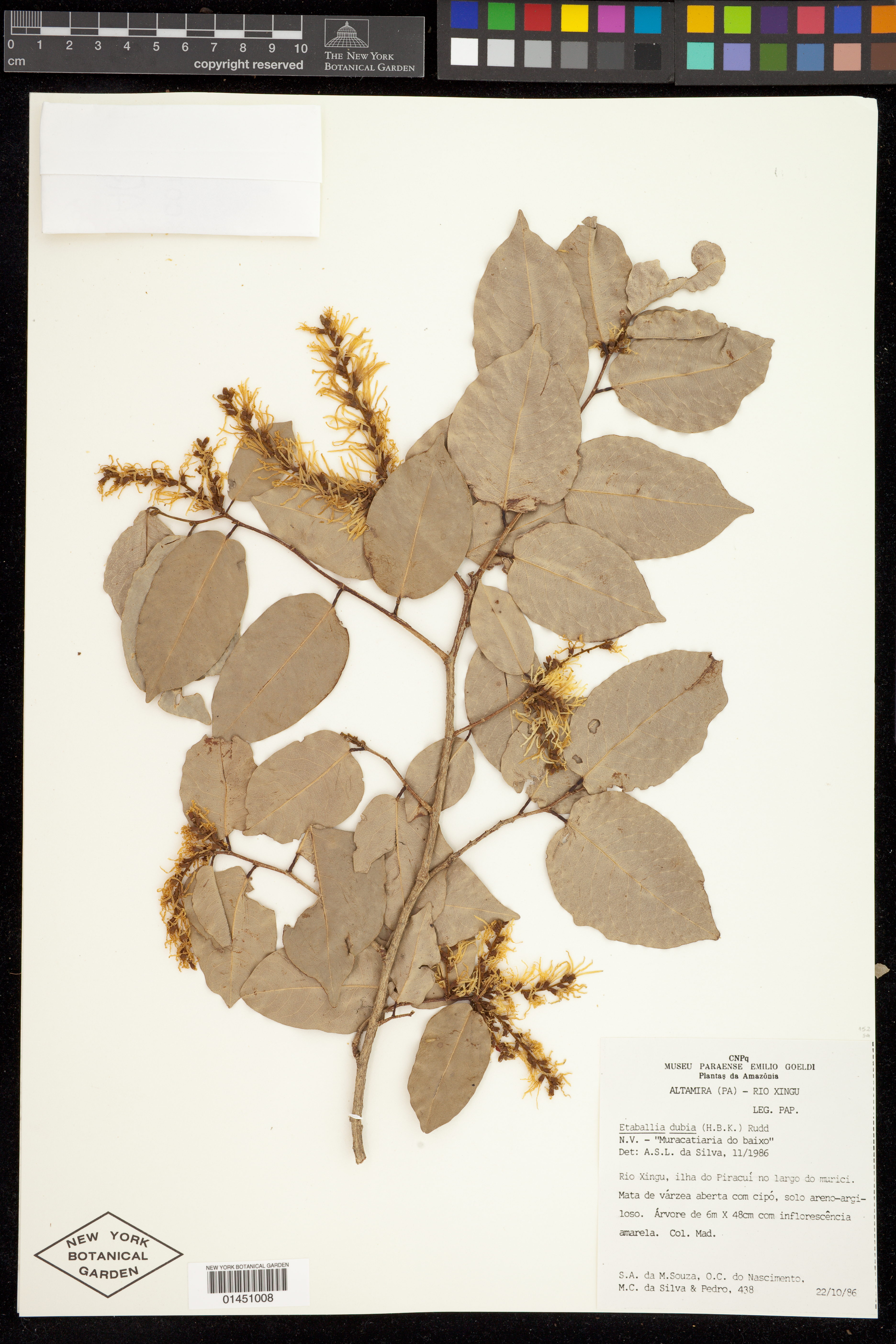
Etaballia dubia (Kunth) Rudd

Rights: Rights reside with creator, otherwise property of NYBG.
-
Filed As
Fabaceae
Etaballia dubia (Kunth) Rudd -
Collector(s)
S. A. da M. Souza 438 with O. C. do Nascimento, M. C. da Silva & Pedro, 22 Oct 1986
-
Location
Brazil. Pará. Altamira Mun. Rio Xingu, ilha do Piracuí no largo do murici. Mata de várzea aberta com cipó, solo areno-argiloso.
-
Identifiers
NY Barcode: 01451008
Occurrence ID: d12e57d9-ad61-4bd6-b5f1-f3aca11c69d1
-
Feedback
-
Kingdom
Plantae
-
Division
Magnoliophyta
-
Order
Fabales
-
Family
Fabaceae
-
All Determinations
Etaballia dubia (Kunth) Rudd det A. S. L. da Silva, Nov 1986
-
Region
South America
-
Country
Brazil
-
State/Province
Pará
-
County/Municipio
Altamira Mun.
-
Locality
Rio Xingu, ilha do Piracuí no largo do murici. Mata de várzea aberta com cipó, solo areno-argiloso.
-
Coordinates
-4.76011, -52.792
-
Coordinate Uncertainty (m)
3720.6
-
Georeferencing Method
Georeferencing Quick Reference Guide, Version 2012. Georeferenced to the geographic center of island Ilha Piracuí, which is located in Rio Xingu in Altamira, Pará. Using Google Maps - Satellite View, located Ilha Piracuí. Used Distance Measurement Tool (Google Maps) to measure the total extent of the island; halved this distance to approximate the location of the geographic center of the island. Used Canadensys Lat/Long Crosshairs to find the coordinates of the geographic center. Used Distance Measurement Tool (Google Maps) again to find linear extent by measuring from the selected coordinates to the farthest extent of the island. Used linear extent as the uncertainty radius.
-
Geodetic Datum
WGS84
-
Distribution
Please submit your comments about the specimen:
Etaballia dubia (Kunth) Rudd