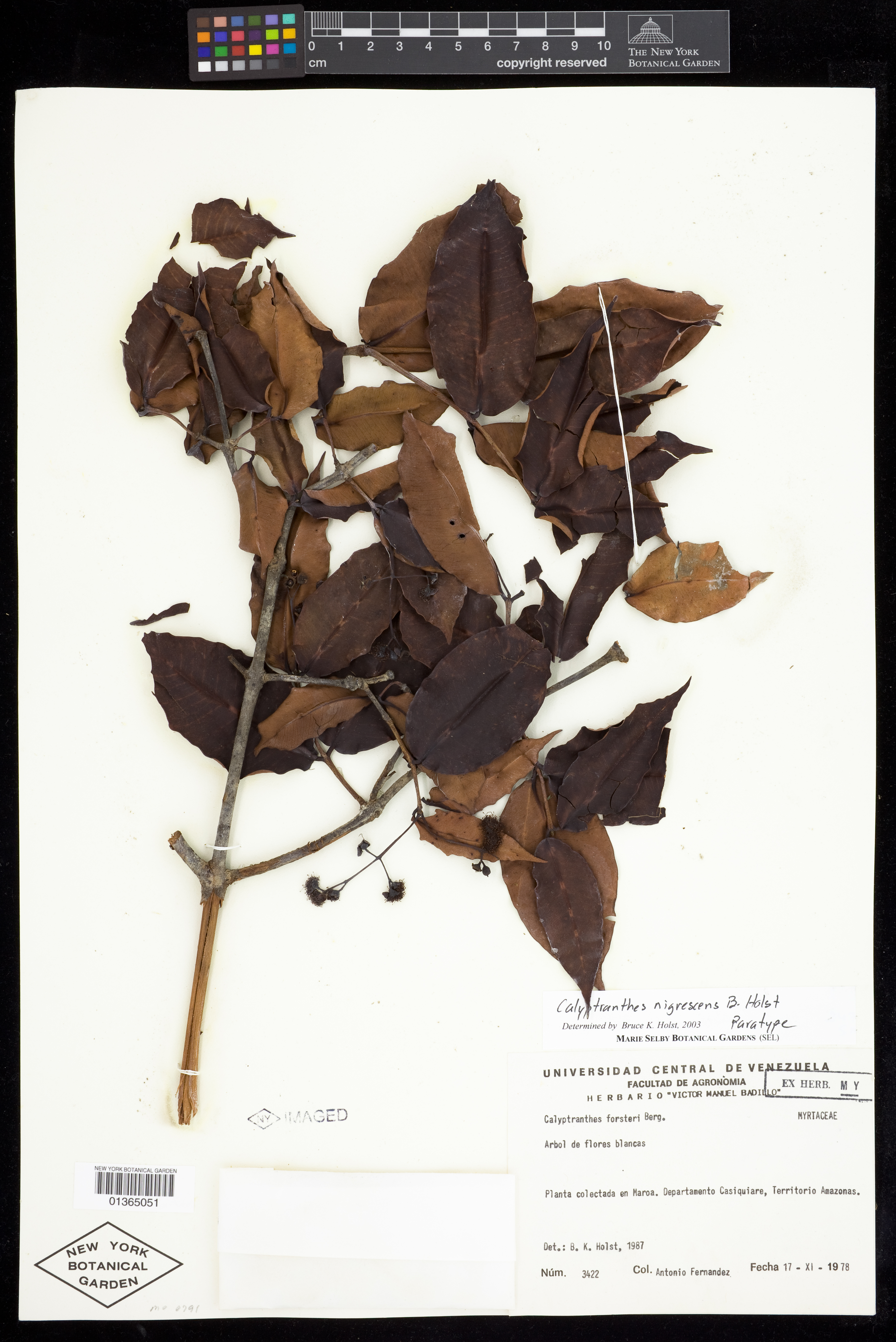
Calyptranthes nigrescens B.Holst

Rights: Rights reside with creator, otherwise property of NYBG.
-
Filed As
Myrtaceae
Calyptranthes nigrescens B.Holst ( paratype ) -
Collector(s)
A. Fernández 3422, 17 Nov 1978
-
Location
Venezuela. Amazonas. Casiquiare. Planta colectada en Maroa.
-
Description
Arbol con flores blancas. Phenology of specimen: Flower.
-
Identifiers
NY Barcode: 1365051
Occurrence ID: 89af5ffe-ec5e-4a00-8ed0-e624e7c2c001
-
Feedback
-
Kingdom
Plantae
-
Division
Magnoliophyta
-
Order
Myrtales
-
Family
Myrtaceae
-
All Determinations
Calyptranthes nigrescens B.Holst det B. K. Holst, 2003
Note: Basionym of paratypeCalyptranthes forsteri O.Berg det B. K. Holst, 1987
-
Type Details
paratype of Calyptranthes nigrescens B.Holst, verif. B. K. Holst, 2003
-
Region
South America
-
Country
Venezuela
-
State/Province
Amazonas
-
Locality
Casiquiare. Planta colectada en Maroa
-
Coordinates
2.72774, -67.5507
-
Coordinate Uncertainty (m)
4056.57
-
Georeferencing Method
Georeferencing Quick Reference Guide, Version 2012. Maroa is both a city (county seat) and county in Amazonas, Venezuela. This collection possibly occurred prior to Maroa being established as its own county (description states county as Casiquiare). Georeferenced to the approximate geographic center of the city of Maroa. Used Google Maps - Earth View to locate the city of Maroa. Used the Google Maps - What's Here Tool to find the coordinates of the approximate geographic center of the city of Maroa. Because the city of Maroa does not have defined spatial boundaries on Google Maps, used the Google Maps - Measure Distance Tool to approximate the linear extent by measuring from the selected coordinates to the nearest named place, Guzmán Blanco, then halving this distance. Input coordinates, linear extent (4045.0 m), and measurement error (10 m) into the MaNIS Georeferencing Calculator to find the uncertainty radius.
-
Geodetic Datum
WGS84
-
Distribution
Please submit your comments about the specimen:
Calyptranthes nigrescens B.Holst